FAA Identifier: 46U
Lat/Long:
43-11-04.7170N / 111-02-32.7640W
43-11.078617N / 111-02.546067W
43.1846436 / -111.0424344
(estimated)
Elevation: 5634 ft. / 1717 m (estimated)
Variation: 15E (1985)
From city: 1 mile NW of ALPINE, WY
Time zone: UTC -7 (UTC -6 during Daylight Savings Time)
Zip code: 83128
Alpine Airpark is Open all Year
For Current Runway Conditions or for more Information:
Alpine Airport Manager
Lynn Ferguson
(307) 654-4646
Airport Operations
646 County Road 100, Alpine, WY 83128
AWOS-3
Frequency: 119.925 or call 307-654-2004!
RUNWAY LIGHTS
Lighted Runway – Medium Intensity Runway Lights (MIRL)

For Current Guaranteed Gas Prices Please visit AirNav.com.
Runway Information
Runway 13/31
Dimensions: 5850 x 70 ft.
Surface: asphalt, new surface 2018
Runway edge markings: Runways 13/31 centerline non-standard spacing and width. Thresholds are non-standard length and spacing.
Airport Runway 70,000 pound max gross weight aircraft limit, FBO Ramp 80,000 pound max single wheel limit. Refuge taxiway 50,000 max gross aircraft weight. Other residential taxiways establish their own weight limits and require approval prior to use.
Runway 13
Gradient: 0.2
Traffic Pattern: Right
Displaced threshold: No
Markings: Non-standard, new 2018
2 Light PAPI Runway 13
Obstructions: None
Runway 13 – 3 foot DROP 100 feet from threshold 50 feet left and 60 feet right; +5 foot fence zero feet from threshold 52 feet right. +12 foot tree 46 feet from end of runway 84 feet right.
Runway 31
Gradient: 0.2
Traffic Pattern: Left
Displaced threshold: 300 feet
Markings: Non-standard, new 2018
19 foot road, 220 feet from runway
1:1 slope to clear
Runway 31 from displaced threshold 14:1 to +55 foot tree 500 feet from end of Runway 135 feet left.
Runway 31 +15 feet road 106 feet from runway, crosses runway end.
Airport Services
Ramp/Tiedown Space
100LL Self Serve: Credit Card/Full Service
JetA / Priest Full Serve/Self Serve
Airframe service: NONE
Powerplant service: NONE
Bottled oxygen: NONE
Bulk oxygen: NONE
Additional Information
Noise Sensitive Area
Weather permiting:
Landing 13 (right)
Takeoff 31 (left)
Avoid flying over the town of Alpine whenever possible.
Airport Operations
Airport use: Private, Open to the public
Sectional chart: SALT LAKE CITY
Control tower: no
ARTCC: SALT LAKE CITY CENTER
FSS: CASPER FLIGHT SERVICE STATION (307) 472-8900
NOTAMs facility: CPR (NOTAM-D service available)
Attendance: Unattended
Pattern altitude: 6634 ft. MSL
Wind indicator: yes AWOS-3
Segmented circle: no
Airport Communications
CTAF: 122.9
AWOS-3: 119.925 or call (307) 654-2004
Nearby radio navigation aids
VOR radial/distance
JACr194/29.5
VOR name
JACKSON VOR/DME
Freq
115.40
Var
13E
Instrument Procedures
There are no published instrument procedures at 46U.
Some nearby airports with instrument procedures:
KJAC – Jackson Hole Airport (29 nm NE)
KAFO – Afton Municipal Airport (29 nm S)
KDIJ – Driggs-Reed Memorial Airport (34 nm N)
KIDA – Idaho Falls Regional Airport (49 nm NW)
KRXE – Rexburg-Madison County Airport (51 nm NW)
Runway and Airpark Courtesy
Practice good noise abatement procedures when conditions allow – Land right downwind for 13 and take-off on 31. Always remain west of the runway. Our goal is to encourage a good relationship with the surrounding homes, residents and township. Avoid flying over the town of Alpine whenever possible. With the increasing mix of jets, homebuilts, military trainers to antique biplanes, we have to be more aware and accommodating to the situation.
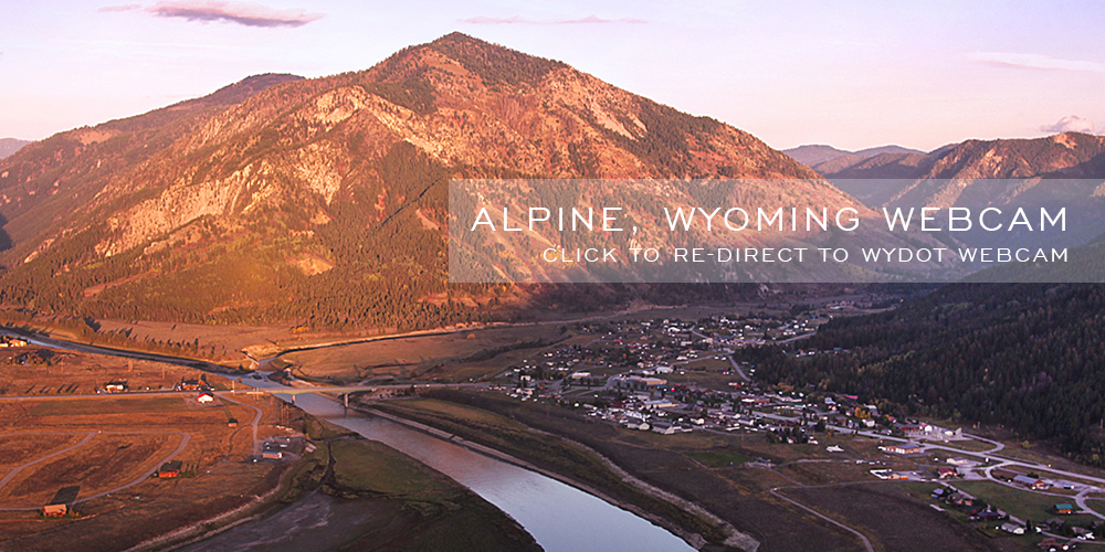
WebCAM Click to View »


Additional Remarks
• Night Landings limited to Airpark Residents Only
• Night Landings and Takeoffs not advised to Pilots unfamiliar with terrain
• Voluntary curfew dusk until dawn
• Vehicle access to Runway
• Buildings and Trees within 120 feet North & South of centerline first 4100′ Runway 31
• Fence 52 feet right of Runway 13 first 1500 feet
• Airport Open Year Round. call for winter Runway conditions: (307) 713-1313
• Birds and Waterfowl hazard. Wildlife on and in the vicinity of Airport
• Glider operations in vicinity of Airport, including Traffic Pattern
• Treacherous mountain terrain in close proximity all quadrants of Runway
• Variable Runway conditions and braking action in Winter months
• Snow banks along Runway and Taxiway edges possible in Fall, Winter and Spring months
Announce Position and Intention for Taxing
for run-up use the backcountry technique of parking at a 45 degree angle to runway for a good visual of traffic pattern and runway itself. After landing consider pulling off on one of the several taxi/ramps along runway if there are others in the pattern. Call for back taxi after other traffic has landed. And be aware there may be service vehicles on the runway from time to time. Thank you, be safe and enjoy the skies.